Published by RawNews1st
8:40 am ( 4/25/2026 )
Multiple tornado warnings were in effect early Saturday morning as a strong line of storms moved over the south shore of New Orleans, producing severe storms.
Meteorologist Payton Malone said people on the south shore, especially in the River Ridge, Harahan, and westbank areas near Waggaman and Westwego, need to get into their safe spots.
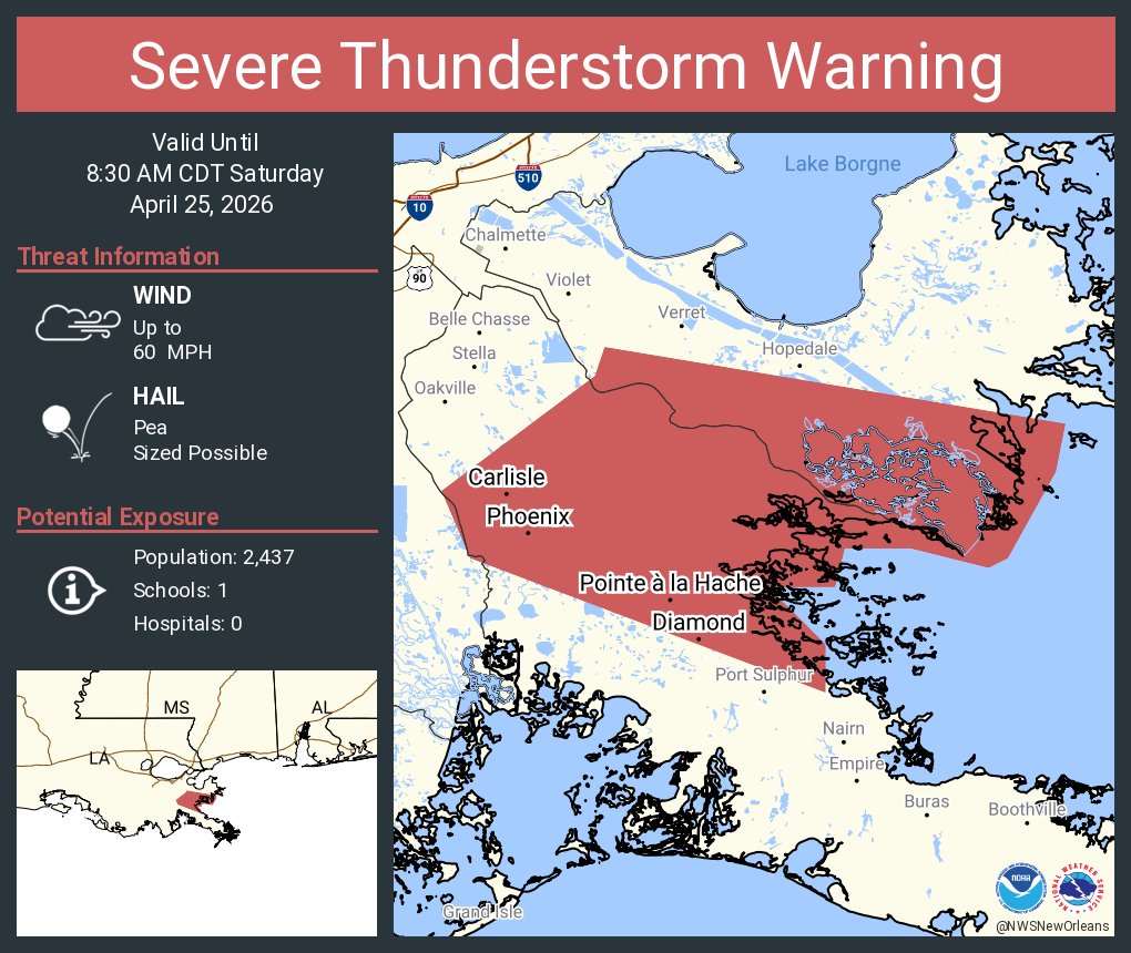
Tornado warnings swept across southeast Louisiana on Saturday morning, April 25, 2026, as a line of potent thunderstorms unleashed damaging winds, possible waterspouts and radar-indicated rotation, disrupting communities from the West Bank to the Northshore and prompting urgent safety alerts.
The National Weather Service in New Orleans issued multiple tornado warnings before noon as storms tracked southeast at 35-40 mph. One warning covered northwestern Plaquemines Parish, northeastern Jefferson Parish, southwestern Orleans Parish and west-central St. Bernard Parish until 12:45 p.m. CDT. Another targeted areas near the West Bank, with strong winds nearing 70 mph reported over parts of Jefferson Parish, including near TPC Louisiana.
Seek shelter in the warned area as rotation associated with a larger squall line moves through.
- Metro New Orleans: Multiple warnings were in effect for the southshore, specifically targeting River Ridge, Harahan, and Waggaman until approximately 7:30 AM CDT.
- Jefferson Parish: Radar-indicated rotation prompted urgent alerts for areas including Marrero, Westwego, Terrytown, and Uptown New Orleans.
- St. Helena Parish: A tornado warning was issued earlier in the morning, effective until 5:30 AM CDT, with radar indicating a possible tornado near Darlington shortly before 5:00 AM.
- Additional Areas: The storm system also prompted warnings in Mississippi, including a tornado warning for Harrison County