Severe thunderstorms posing a risk for strong tornadoes, damaging winds: Kentucky

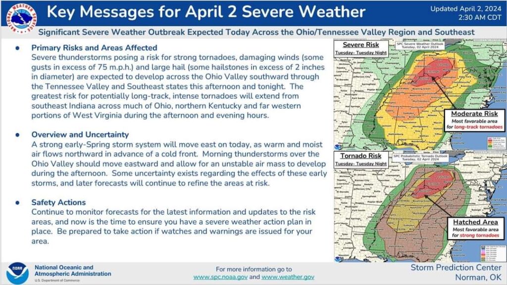
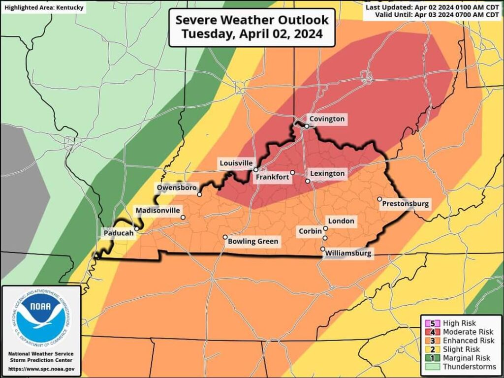
Severe thunderstorms posing a risk for strong tornadoes, damaging winds (some gusts in excess of 75 m.p.h.) and large hail (some hailstones in excess of 2 inches in diameter) are expected to develop across the Ohio Valley southward through the Tennessee Valley and Southeast states this afternoon and tonight.
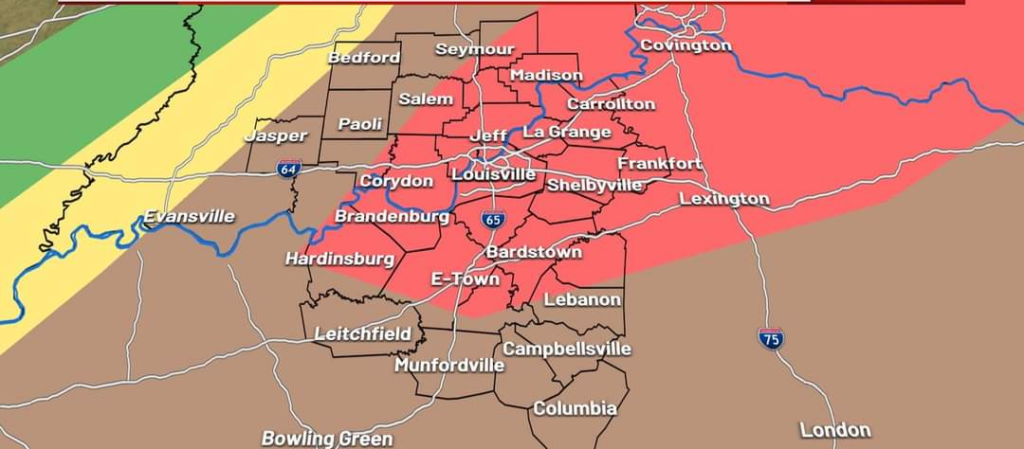
The greatest risk for potentially long-track, intense tornadoes will extend from southeast Indiana across much of Ohio, northern Kentucky and far western portions of West Virginia during the afternoon and evening hours.

Overview and Uncertainty
A strong early-Spring storm system will move east on today, as warm and moist air flows northward in advance of a cold front.
Morning thunderstorms over the Ohio Valley should move eastward and allow for an unstable air mass to develop during the afternoon.
Some uncertainty exists regarding the effects of these early storms, and later forecasts will continue to refine the areas at risk.

Safety Actions
Continue to monitor forecasts for the latest information and updates to the risk areas, and now is the time to ensure you have a severe weather action plan in place.
Be prepared to take action if watches and warnings are issued for your area.
Credit WLKY
© Copyright RawNews1st


