Major Hurricane Beryl begins assault on Caribbean islands: Update

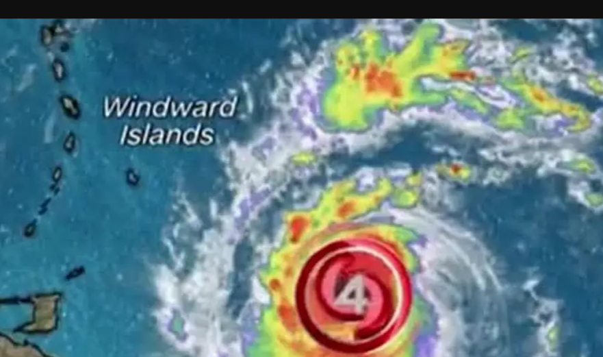
On Monday, Hurricane Beryl will plow through the Windward Islands, bringing life-threatening impacts as it continues its historic journey across the Atlantic Basin. Hurricane and Tropical Storm Warnings are in place for several of the southeastern Caribbean islands.
Farther west, Tropical Storm Chris formed late Sunday night in the southwestern Gulf of Mexico and made landfall less than two hours later in eastern Mexico. Chris could drop up to a foot of rain in parts of the region, threatening the mountainous terrain with mudslides and flash flooding.
And behind Beryl in the central tropical Atlantic, Invest 96L has a high chance of tropical development in the next week.
The National Hurricane Center said a tropical depression is likely to form by the middle part of this week. Should the system strengthen into a tropical storm, it will get the fourth name on the list for the 2024 hurricane season – Debby.
Severe thunderstorms will be possible across the northern and central Plains.
The National Weather Service’s Storm Prediction Center issued a Level 2 out of 5 risk for Nebraska, South Dakota and southern North Dakota. The biggest threats will be damaging wind gusts and large hail.
According to the National Hurricane Center’s latest advisory on Monday morning, maximum sustained wind speeds of 130 mph “with higher gusts” were reported for Beryl.
The advisory warned of hurricane-force winds extending up to 35 miles out from the storm’s center.
Beryl is expected to make landfall early on Monday across the Caribbean’s Windward Islands, and a hurricane warning is in effect for Barbados, St. Lucia, St. Vincent and the Grenadine Islands, Grenada and Tobago.
While Beryl’s strength may fluctuate after landfall, the NHC warned it is “expected to remain a dangerous major hurricane,” as its core moves through the island countries.
The forecast warns of “catastrophic wind damage” along areas in the path of the hurricane’s core, with St. Vincent and the Grenadines, and Grenada likely bearing the brunt.
Authorities also warned of storm surges 6 to 9 feet above normal tide levels and 3 to 6 inches across Barbados and the Windward Islands.


