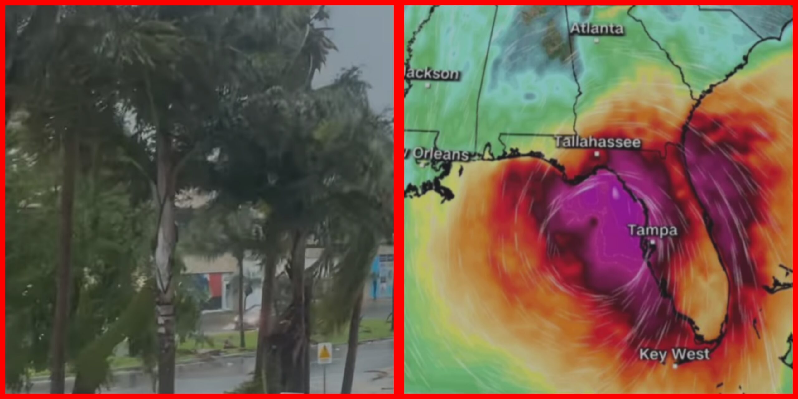
Hurricane Helene is totally swallowing bridges in the Tampa area

CBS – Hurricane Helene strengthened into a Category 3 storm with sustained winds of 125 mph Thursday and may just reach the next level as it roars toward landfall and possible devastation along Florida’s Gulf Coast.
The National Hurricane Center, which at its 2 p.m. ET update had reported Helene’s sustained winds as high as 110 mph − just shy of Category 3 status − tweeted about a 10 mph increase 25 minutes later.
At 5 p.m., the center issued an even more dire advisory, saying: “It seems likely that Helene will be at or very near Category 4 strength when it makes landfall in the Florida Big Bend this evening.”
AccuWeather forecasters have also predicted Helene will reach Category 4 strength − winds of 131 to 155 mph − and maintain that intensity into landfall.
Several Florida counties have ordered evacuations. Four of them − Franklin, Taylor, Liberty and Wakulla − with a total population of more than 70,000 people have ordered all residents to leave.
Wakulla County Sheriff Jared Miller warned residents Thursday that Wakulla could face “catastrophic” storm surge.
“This will not be a survivable event for those in coastal or low lying areas,” Miller said in a Facebook post. “There has not been a storm of this magnitude to hit Wakulla in recorded history.”
On the forecast track, Helene will make landfall in the Florida Big Bend region Thursday night, the hurricane center said.
After landfall, Helene is expected to turn northwestward and slow down over the Tennessee Valley on Friday and Saturday. Florida will get hit first, but other states are bracing for a severe blow.
“Helene is a very dangerous hurricane and could become a ‘once-in-a-generation storm’ across western South Carolina and North Carolina, as well as northern and eastern Georgia,” AccuWeather senior director of dorecasting operations Dan DePodwin, said.


