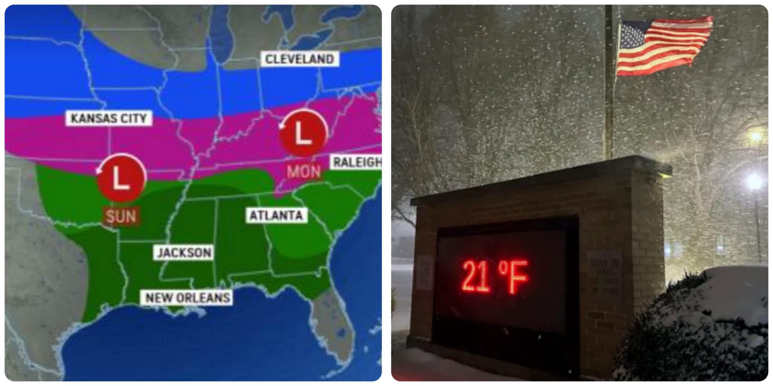
Heavy snow and sleet arriving 60 million people, across 30 states from the Plains to the mid-Atlantic, were under weather alerts

A Winter Storm Warning will be in effect for most of central Indiana starting at 10 a.m. Sunday lasting through 1 p.m. Monday. This is where confidence is highest for snowfall of at least 5-6″.
In some places we could get 8-11 inches or more, especially south of I-70.
A Winter Weather Advisory is in place for much of north-central Indiana where snowfall totals should at least reach 1-2 inches, with some spots getting 4 inches.
We think dry air the north, and a more southerly trajectory for the entire storm system should reduce the snow north of Westfield for areas like Lafayette, Kokomo, Peru, Marion, and Jay County. There is a chance for a sharp cut-off.
The heaviest snow will be north of the low pressure system, and north of the sleet and ice. We think much of central and southern Indiana will get the highest totals. There may be an extra concentration of big snowfall totals 7″+ for areas in south-central Indiana, places around Brown County, Bloomington, Columbus, Greensburg, Seymour, Bedford, Brookville Lake, and Batesville.
These areas have the highest chance for bigger totals. However the one factor that could cut down on these totals will be sleet. Sleet does not accumulate well. If we get too much sleet, then the snowfall accumulation will be lower.
If we don’t end up getting much sleet, our snowfall totals may skyrocket to the south.
- Light blue: flurries possible, not much accumulation expected
- Medium blue: 1-2″ possible, lots of breaks in the snowfall
- Dark blue: 2-4″ possible
- Pink: 4-8″ with some sleet mixing in
- Purple: 8-10″+ with some sleet mixing in
There will be times where we are getting 1-2″ of snow per hour. At first the snow is likely to be pretty wet, which compacts more on the ground.
By late Sunday night, the snow will start to become drier and the winds will start picking up, leading to some drifting.
Tens of millions of Americans braced Sunday for a massive winter storm, expected to bring the heaviest snowfall and coldest temperatures in over a decade to parts of the country.
Kansas, Arkansas, Kentucky and Virginia have declared states of emergency as the storm, driven by a polar vortex, moved east after striking the central United States. Southern states like Mississippi and Florida also warned of dangerous cold and treacherous conditions, according to the National Weather Service.
Note: The service predicts historic precipitation for parts of Kansas and Missouri, forecasting over 15 inches of snow from northeastern Kansas into north-central Missouri — the region’s heaviest snowfall in a decade.
The NWS warned of “considerable disruptions to daily life,” including “dangerous or impossible driving conditions and widespread closures,” making travel “very difficult to impossible” through Sunday.
Cincinnati, Chicago and St. Louis have treated roads in advance of the storm and prepared warming centers.
Scattered snow showers developed across the Northern Plains Saturday afternoon and through the evening. More than 2 million people were covered by a blizzard warning for most of Kansas and a large part of Missouri on Sunday morning, according to the weather service.


