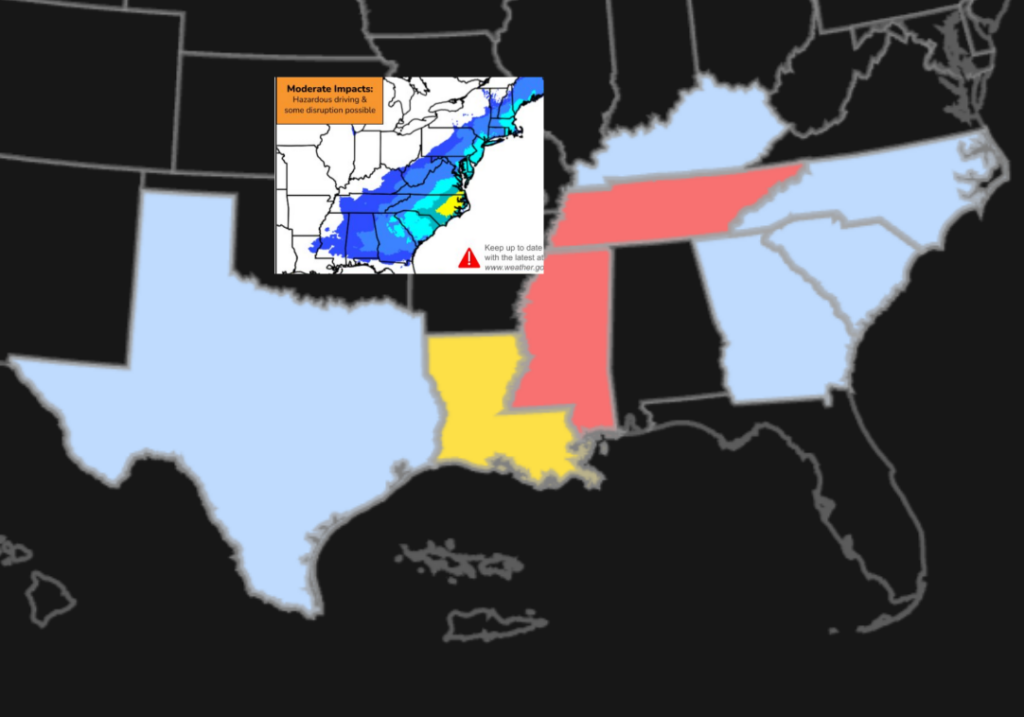
Forecasters are already tracking the possibility of another major winter storm this weekend
Published by RawNews1st
The National Weather Service (NWS) says the potential is increasing for a new system to move into the area, though it remains too early to determine exact timing, snowfall totals or impacts. Forecasters urge residents to stay updated as the week unfolds.
“There are some indications that the next one could be big if not bigger,” FOX 5 NY’s Mike Woods said. “It’s still a long ways out, and the models have kind of advertised this, put this out there last week…. so it’s not a guarantee by any means yet.”
“It does seem like it’s on both of the major models, the American model and the European model,” Woods said. “It looks like it’s either coming to South Jersey or basically everyone here in the Tri-State region. How much we get, how intense it will be, well, that still remains to be seen.”
Meanwhile, cold air pouring in has prompted a cold weather advisory for parts of the region, with wind chills dropping into the single digits and, in some spots, well below zero.
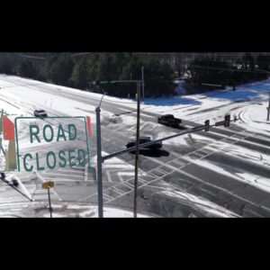
Several inches of snow fell on Sunday across the Tri-State area, and observations from NWS showed totals above 12 inches for parts of New York, New Jersey and Connecticut. Woods said while the snow from this weekend’s storm has ended, winter’s grip has not loosened.
“We got this one done, but the problem is that it’s just so cold outside,” Woods said.
Note: there are a total US Customers Out 550,868 without power right now